
On Sept. 29, Maine became the second state to finalize its congressional districts for the next decade, capping a six-week process more notable for what it wasn’t: contentious, protracted, or extensive.
With just two districts to draw, minimal population shifts, and a redistricting scheme that encouraged compromise, the whole ordeal was relatively painless. Democrats and Republicans in the state legislature each proposed similar maps on Sept. 16, and it took just eight days to reconcile their differences into a unified proposal submitted on Sept. 24 and approved a few days after that.
Since Maine lost its third congressional district following the 1960 Census, the Pine Tree State has divided itself into a southern 1st District encompassing Portland and Augusta, and a northern, and more rural, 2nd District covering the rest of the state.
Most of the state’s population growth was in the 1st District. That meant lawmakers had to move roughly 23,000 residents from the 1st into the 2nd to balance the two districts’ populations. They achieved that by placing Augusta, the state capital, in the 2nd for the first time.
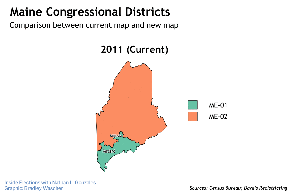
The result is a slightly modified version of the map Maine used for the last decade, with only a few precincts in one county (Kennebec) shifting between the two districts. It does not change the underlying political situation, in which the 1st District is a Democratic stronghold and the 2nd District is highly competitive.
As one of just two states in the nation to allocate Electoral College votes by congressional district, redistricting in Maine affects not just the fight for control of Congress but also the presidential race, with the 2nd District a sought-after prize in the race to 270.
The 1st District
The...